


Lavrov accuses West of putting billions of lives at risk
00:36
| Home page World |

|
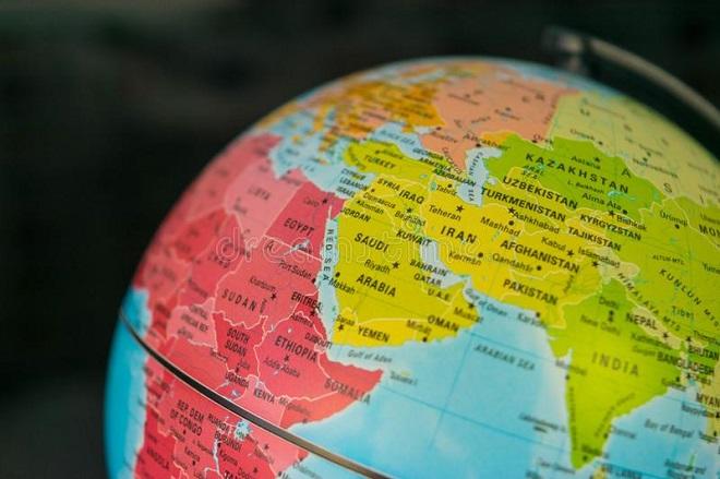
The United Nations General Assembly has voted to phase out the traditional Mercator projection in favour of maps that more accurately represent the size of Africa and other regions.
Axar.az reports, citing the Guardian, that the resolution, sponsored by Togo on behalf of the African Union, was approved with 164 countries voting in favour. The United States voted against it, while six countries abstained.
The resolution promotes the 2018 Equal Earth design, which more accurately reflects the relative size of continents.
The Mercator projection, introduced by Gerardus Mercator in 1569, makes areas near the poles appear significantly larger while shrinking regions closer to the equator. Africa, for example, appears similar in size to Greenland despite being about 14 times larger.
The UN resolution is non-binding, meaning countries and institutions will not be required to abandon the Mercator projection. However, it could influence school curricula, technology and other forms of map use.
Togo’s Foreign Affairs Minister Robert Dussey described the issue as scientific rather than political.
“This discussion is not a political discussion [but] a scientific discussion, because there is scientific proof so we all have to accept the reality,” Dussey said.
Dussey said the campaign was aimed at changing perceptions of Africa. “When we look at the world map … it is time for us to change the narrative,” he said.


|
Date
2026.09.04 / 23:14
|
Author
Axar.az
|