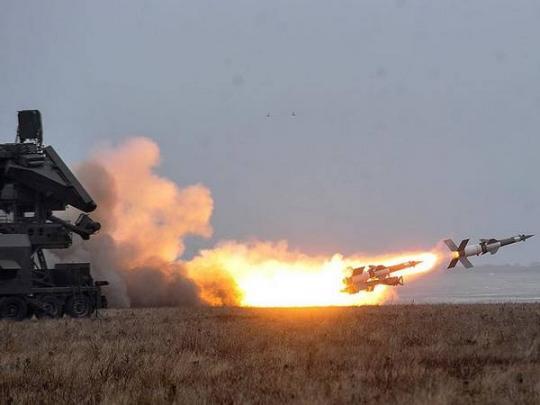


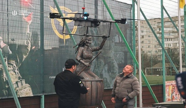
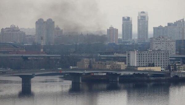
Russian missiles target Kyiv and central Ukraine
10:16
| Home page Gallery |
|
The delimitation in Tavush will continue along the 1978 border, compared to 1976, the Armenian SSR lost several square kilometers of territory.
Axar.az reports that citing Sputnik Armenia.
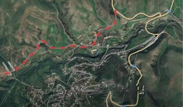
On the map of the Soviet General Staff from 1976, showing the Soviet administrative border between the Armenian and Azerbaijani SSRs (from the Georgian SSR to the village of Sevkar), one can immediately notice two dashed lines – black and, in some places, red. The thing is that the original 1976 border, marked in black, was corrected as of 1978 (marked in red).
As can be seen on the map fragment (from the border of Georgia to the village of Barekamavan), as a result of the change in the border route, a significantly larger area passed to the Azerbaijani SSR than to the Armenian SSR. According to our rough estimates, the Armenian SSR lost about 5.8 square kilometers.
Publication sent a request to the office of the head of the Armenian delimitation commission, Deputy Prime Minister Mger Grigoryan, asking which border will be used for the delimitation.
"In the preface to the regulations on the joint activities of the delimitation commissions of the two countries, the Almaty Declaration of 1991 is enshrined as the basic principle of the delimitation process. Therefore, the basis of the entire delimitation process will be legally substantiated documents and maps existing at the time of the collapse, which reflected the administrative border between Soviet Armenia and Soviet Azerbaijan," the office replied.
Let us remind you that on May 15, 2024, the ninth meeting of the delimitation commissions took place at the border of the two countries, chaired by the deputy prime ministers of Armenia and Azerbaijan – Mger Grigoryan and Shahin Mustafayev. During that meeting, the protocol describing the delimitation of the border at the Baghanis/Baghanis-Ayrim – Berkaber/Kyzyl Gadjily section was agreed upon "in accordance with the topographic map of the Soviet General Staff from 1976, which underwent duty procedures in 1979."
Then, on January 16, 2025, following a new meeting of the commissions led by the deputy prime ministers of Armenia and Azerbaijan – Mger Grigoryan and Shahin Mustafayev – the parties determined a new section for the delimitation of the border. They agreed to begin a comprehensive process of delimiting the state border from the northern section, from the point where the borders of Armenia, Azerbaijan, and Georgia meet, and then continue southward – from north to south – to the Armenia-Azerbaijan-Iran border.


|
Date
2025.02.27 / 14:12
|
Author
Axar.az
|