From 1992 to 1997 within the framework of the GSHAP (Global Seismic Hazard Assessment Program) project, large swathes of territory including Caucasian countries, Turkey, Iran, Russia and Turkmenistan were thoroughly explored and assessed on the basis of a new method, Gurban Yetirmishli, director of the Republic Seismic Survey Center of Azerbaijan National Academy of Sciences, told APA on June 1.
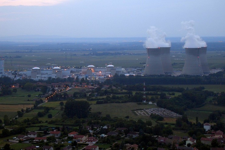
The active tectonic faults (lineaments) map compiled made it clear that a large and active tectonic fault zone stretches near Yerevan and Metsamor nuclear power plant in Armenian territory, Yetirmishli said.
He noted that the seismic potential of this tectonic fault zone is measured M=7.5 on the Richter scale or magnitude 10 on 12-magnitude MSK-64 scale. The 1988 earthquake was M=7.1 in strength and magnitude 10 on MSK-64 scale.
According to the chief seismologist, the biggest and unpreventable threat to Metsamor NPP is a possible powerful earthquake in Armenia, which is part of Alpine-Himalayan orogenic belt.
He stressed that Armenia is located in the collision contact zone of the Eurasian and Arabian tectonic plates and is characterized by fairly high seismic activity.
Yetirmishli went on to say that data on the powerful earthquakes that have hit the area since 139 are collected in separate catalogs.
He noted that Armenia is divided into three active seismic zones on the basis of the above-mentioned earthquake data: Leninakan (Gyumri), Ararat, and Zangazur.
“The Ani earthquakes in the Leninakan (Gyumri) active seismic zone in 1046 (intensity - magnitude 8) and 1132 (intensity - magnitude 7), the three tremors of the 1926 Leninakan earthquake (intensity - magnitude 8-9) and the 1935 Digor earthquake (intensity - magnitude 8) occurred. The Ararat earthquake (intensity - magnitude 8) in 139, the Dvin earthquake (intensity - magnitude 8-9) in 893, the Aruch earthquake (intensity - magnitude 7-8) in 171, the Garni earthquake (intensity - magnitude 8) in 1679, the Ararat earthquake (intensity - magnitude 8-9) in 1840 in the Ararat active seismic zone caused massive destruction and catastrophes. The devastating earthquakes in the Zangazur active seismic zone in 1931 (intensity - magnitude 8-9) and 1968 (intensity - magnitude 7-8) are known. The seismic level of active seismic zones is defined based on tectonic faults in those zones. Contrast tectonic movements going on within these faults are followed by quakes of varying strength. The highly active all-Caucasian and anti-Caucasian tectonic faults or those directed at meridian have been detected in Armenian territory,” Yetirmishli added.
Yetirmishli noted that a seismic zoning plan of countries located in seismically active areas is being drawn up in order to ensure these countries’ sustainable development.
“One of main terms of the revision of correct seismic hazards map is to realistically assess location of seismic zones and seismic potential. Researches are mainly covering comprehensive and detailed study of deep structure of the Earth's crust, modern geodynamics, regional seismicity and seismotectonics in order to solve this problem. Thus, seismically active structures, their seismic effects, attenuation depending on the distance and parameters of their seismic regime are determined that measures maximum magnitude of seismic impact during an interval of time. The seismic zone map of Armenian SSR drawn in 1980, describe two 12- magnitude zones having seismic effects with an intensity of 7–8 by the scale MSK-64. The construction of Metsamor NPP was started long ago in 1973. Its construction was completed in 1979 before the approval of the map. It shows that the plant’s seismic hazard was assessed as 12-magnitude (8 by the scale MSK-64). In 1988, earthquake measuring 9-10 magnitude on the Richter scale hit Spitak city in Armenia, the territory with 7-magnitude seismic hazard assessed in the Seismic zone map in 1980. About 250,000 people were killed as a result this earthquake.
Yetirmishli said all these facts show that Metsamor is located in a very perilous seismic zone and the anticipated threat is inevitable. Furthermore, a possible 10-magnitude earthquake there may cause a huge bloc in the NPP to explode and even the NPP may completely destroy in the wake of faults reaching the earth’s surface during tremors.
“If that happens, it is really difficult to estimate the consequences of a probable catastrophe. We speculate that the points we made are enough reasons for immediate close of Metsamor NPP, without discussion and argument. So along with experts from Georgia, Turkey, and other countries, we should first try to urge the IAEA to take a serious approach to this problem. This, in turn, may save the region’s population from a massive disaster,” the chief seismologist concluded.


