


Champions League second qualifying round concludes
16:53
| Home page Society |
|
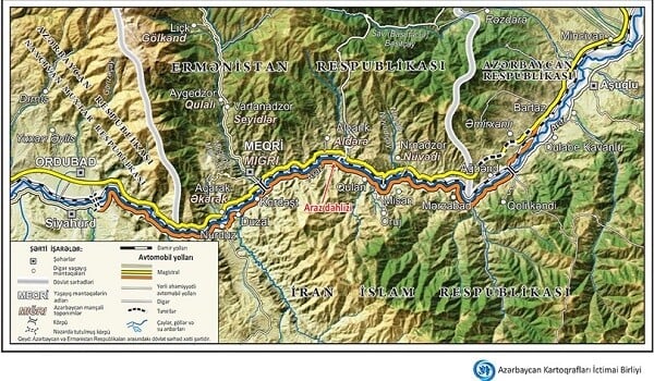
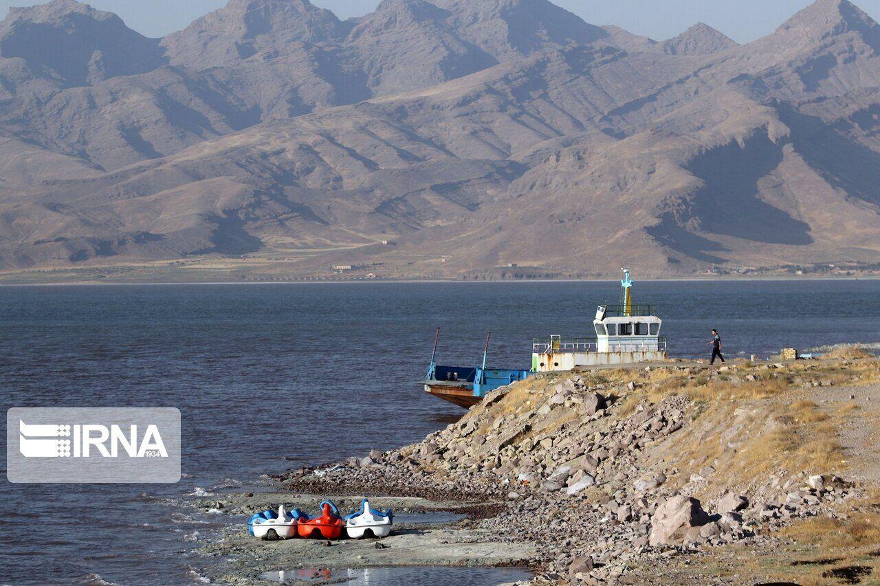
The "Azerbaijani Cartographers" Public Union has prepared a map of the Zangezur corridor. The base of the map is based on high-quality space images.
Axar.az reports that this was stated by the chairman of the "Azerbaijani Cartographers" Public Union, Muqabil Bayramov.
He said that the map shows relevant parts of Azerbaijan, Armenia, and Iran - settlements, roads, rivers, and mountains.
The map also shows the Araz corridor. The cartographic work is in Azerbaijani and English.


|
Date
2025.10.14 / 21:14
|
Author
Axar.az
|