


.jpg)


NATO Summit begins in Ankara
12:40
| Home page History |
|
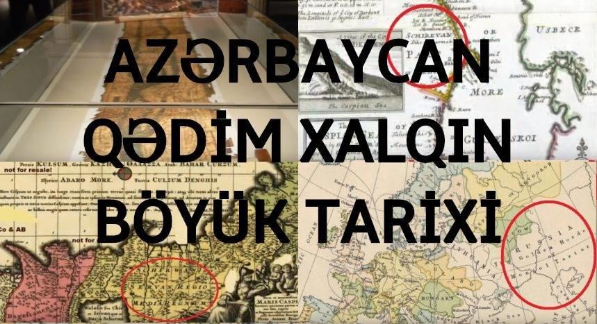
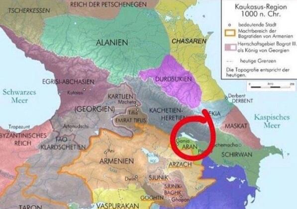
Researcher Oleg Petrenko posted the next video on the continuation to investigate facts and maps on Azerbaijan's history.
Axar.az reports that, this time the researcher presented real facts about the ancient history of Azerbaijan he also revelaed persons that were attempting to destroy these facts for many years.
These maps have disappeared from all museums, but still in rare paid libraries, some of them can be found:
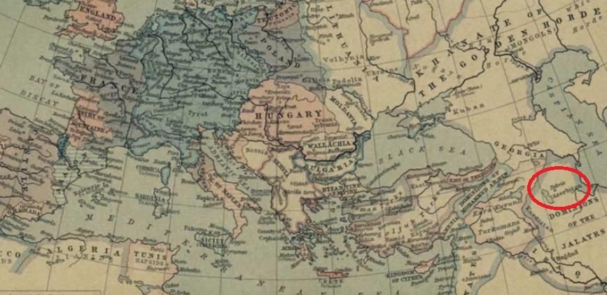
According to Petrenko, during the occupation of the Iranian territory by the Jalaris, the Azerbaijani state were already existed.
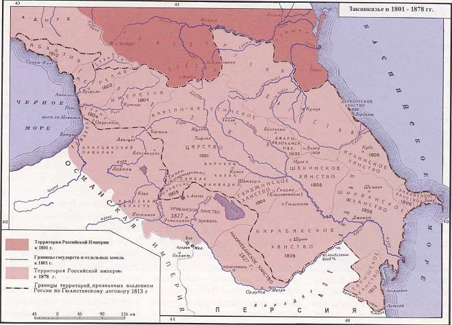
As can be seen from this map, Derbent, Guba, Baku, Shirvan, Sheki, Ganja, Garabagh, Mughan Plain, Talish and others. - are Azerbaijani khanates. This map dates back to the 1800s.
This map shows the state's 1801-1813 boundaries. Here we see the borders of ancient Azerbaijan.
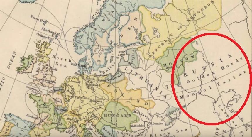
As an example, the map of the XV century can also be shown. This map shows the name of the Russian state as the Great Tartaria or the Golden Horde.


|
Date
2019.03.15 / 13:51
|
Author
Axar.az
|