


Azerbaijan, Pakistan leaders hold phone call
19:19
| Home page Society |
|
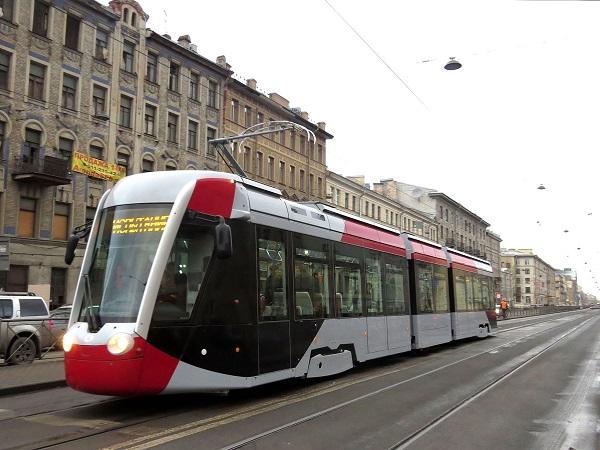
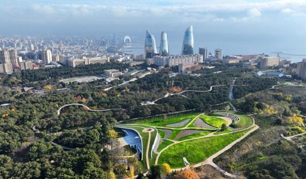
Transport expert, engineer Azer Akhundov has prepared a map of the future tram lines of the capital, which is planned to be built in the Master Plan, based on the information of the approved General Development Plan of Baku until 2040.
Axar.az reports that the presented map shows the scheme of the future lines. The longest should go along the shore of Baku Bay - starting from Bibiheybat settlement, along Mikayil Useynov, Neftchilar, and 8 Noyabr avenues in the direction of Ahmadli village.
Also, an extended tram line should be built from the territory of "Icharishehar" and "28 May" metro stations along Azadlig Avenue and in the direction of Binagadi village.
Another line should be built from Khatai Avenue to Tofig Bahramov Stadium and "Ganclik" metro station, then along Atatürk Avenue to "Azadlıg Avenue" metro station.
One of the longest lines should connect from the "Darnagul" metro station to Ziya Bunyadov, Heydar Aliyev, and Babek avenues, pass through NZS settlement and Baku's White City and end at "28 May" metro station.
It should be noted that the issue of specific dates and routes for laying tram lines in Baku has not yet been specified at the state level, various discussions are being held in this regard.


|
Date
2024.01.18 / 09:39
|
Author
Axar.az
|