


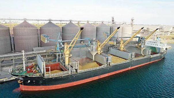
Three Russian Black Sea terminals restrict grain intake
10:38
| Home page Politics |
|
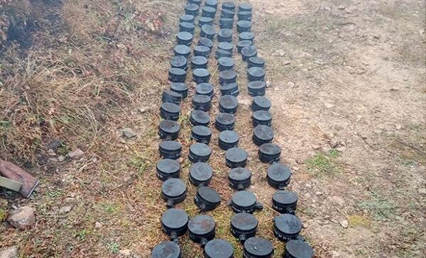
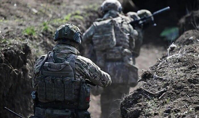
Information about the part of the former contact line passing through Khojavend, Tartar and Goranboy regions, as well as the areas mined by the Armenian military units when they retreated in November 2020, has not yet been provided.
Axar.az was informed about this by the Azerbaijan Minesweeping Agency (ANAMA).
It was noted that the accuracy of the information provided by Armenia in 2021 about the minefields buried in the Agdam, Fuzuli, Jabrayil and Zangilan regions was 25%.
"If we look at the statistics of mine incidents, we can see that not only the territories along the former contact line, but also residential areas, farmlands, riverbanks, forest massifs, and cemeteries are highly contaminated by mines. After the Second Karabakh War, 345 people died from landmines, and 247 people passed away. As a result of landmine incidents outside the contact line, he was killed or received various degrees of physical injuries," the information emphasized.


|
Date
2024.02.12 / 10:52
|
Author
Axar.az
|